
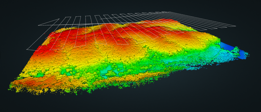
The project involved a newly acquired 100+ acre section of dense forest. The property owner wanted a clear understanding of his land's topography to establish the best location development that avoided watershed and flooding. The owner also wanted to identify individual tree species and have the ability to derive individual tree measurements to assist in decision making regarding tree harvesting and preservation.
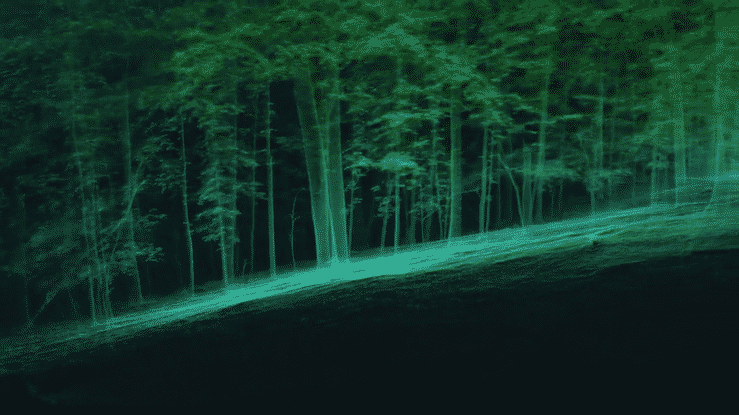
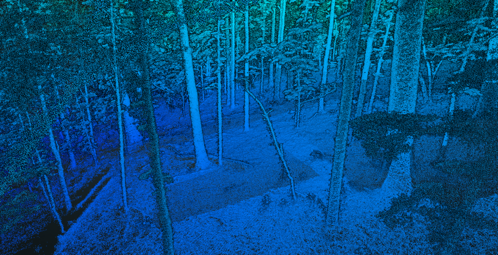
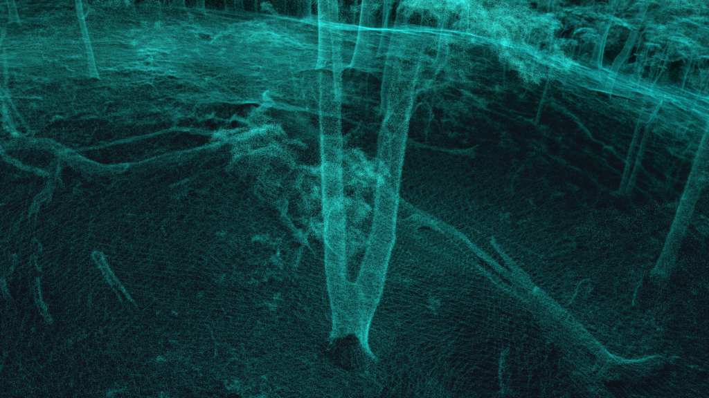
Obtaining an aerial scan that penetrated the dense, forest canopy presented a challenge. It was also difficult finding open space from which to launch and operate the drones. Due to the remote location, special planning was necessary to ensure that all GPS dependent equipment maintained a strong signal and connection to their base stations and pilot. Additionally, survey-grade control had to be established prior to collecting LiDAR data to assist in the merging and aligning of the data back in the office. We obtained permission from nearby landowners to access our customer’s property through theirs. We established 10 ground control points before scanning so we had a strong reference base to work from. We used a drone LiDAR system to scan the tree canopy and penetrate beneath it as much as possible. Then, utilizing a handheld SLAM LiDAR system, we captured the same data at ground level by walking through the forest in a predetermined grid and spiral pattern - ensuring an extremely dense dataset.
By capturing aerial and ground based LiDAR, we produced a dense dataset for the property owner that satisfied his goal. He was able to specifically identify trees and the best location for building his home to avoid water problems.
Blackbird Engineering © 2023. All rights reserved.