Blackbird Engineering
Professional LiDAR Services
PROFESSIONAL LIDAR SERVICES
Drone mounted LiDAR and SLAM based LiDAR provide rapid, high density data capture that produces detailed and accurate point clouds. It’s a great solution for complex environments.
Power Lines and Substations
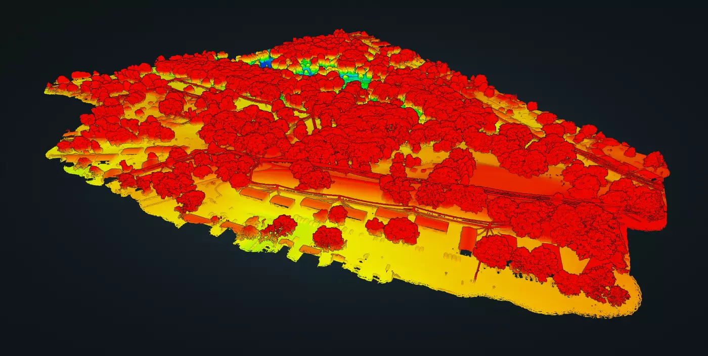
Densely Vegetated Forestry Areas
Mining and Subway/Tunnel Systems
Utility Vaults and Enclosures
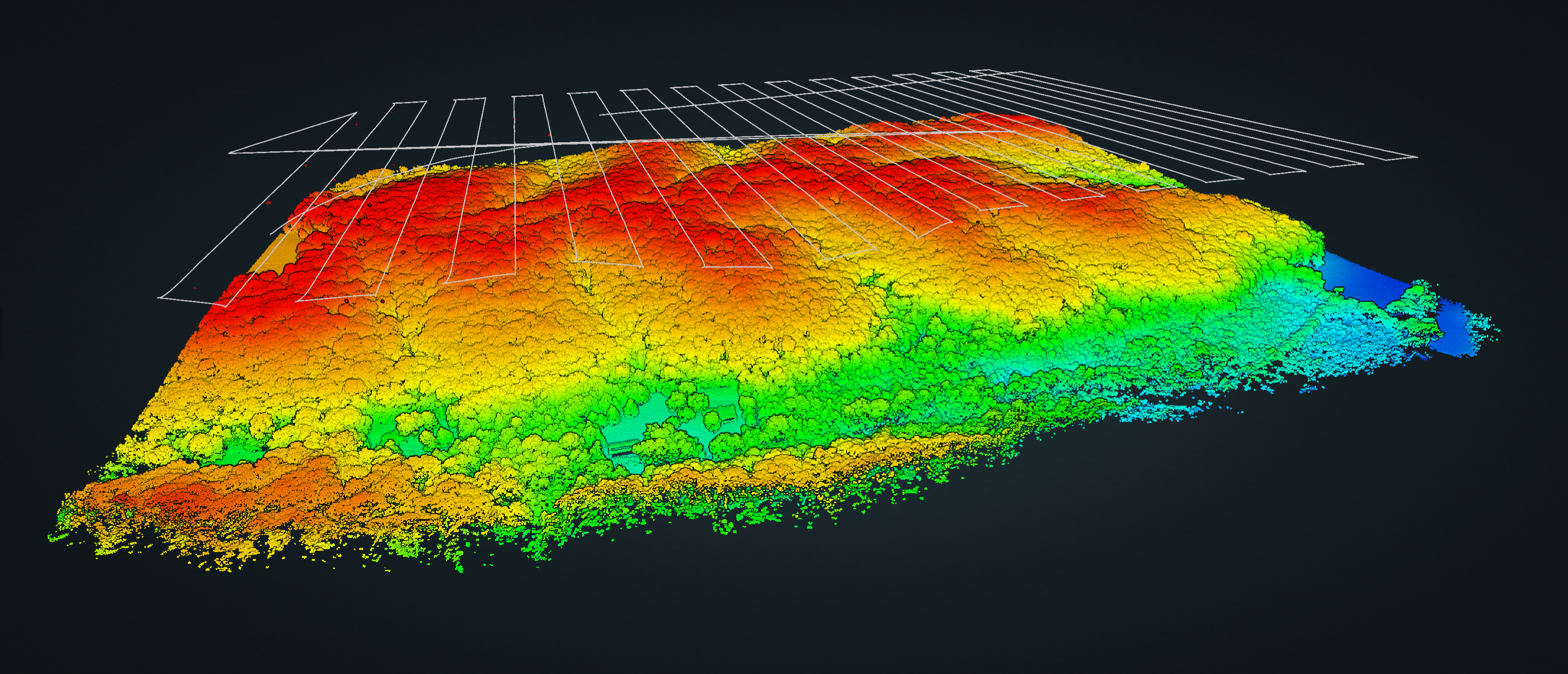
SEE THROUGH THE TREES
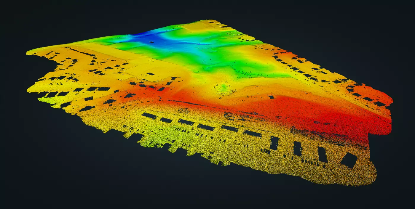
Using aerial LiDAR, ground level measurements can be extracted through small openings in tree canopies and dense vegetation – allowing for an unprecedented amount of ground level data.
LIDAR (Light Detection and Ranging) uses laser light in a manner similar to radar. Except, rather than sound, it emits hundreds of thousands of light pulses per second to produce highly accurate and detailed object measurements. Due to LiDAR’s high density outputs and non-destructive nature, the potential applications for its use are far reaching.
Aerial
Using a vast array of drone mounted LiDAR systems, our teams can scale up to the demands of any size project. Blackbird has a trusted network of drone and manned aircraft pilots to efficiently match the requirements of each individual site.
SLAM
We utilize handheld and mobile SLAM LiDAR technology to accurately scan and map complex interior, exterior, and confined environments. This technology allows for dense data collection in any environment.
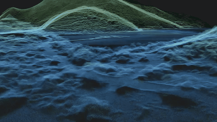
Bathymetric
By utilizing different wavelengths than traditional LiDAR, bathymetric LiDAR allows for shallow water topographical data collection. This further enhances the insights that can be generateded along shores and coastlines.
GPS Denied
Our team is one of the few firms capable of collceting drone and SLAM LiDAR data in GPS-denied environments such as tunnels and mines. Furthermore, we can tie this valuable data into existing datasets and software utilizing rigorous site-control.
SLAM LiDAR collection systems use a wide range of algorithms, computations, and other sensory data to compile precise measurements in complex environments. Using these two applications, a drone can plot a course through an unfamiliar environment and identify its location within the environment at the same time. This self-localization capability allows the drone to access and map areas that are GPS-denied, or too dangerous for people. Additionally, we use handheld SLAM systems that collect precise data in areas a drone can’t reach like confined interior spaces and utility vaults.
FEATURED LIDAR CASE STUDIES