Geospatial Solutions
Made Simple
Professional Inspection, Mapping, and 3D Modeling Services

About Us
Who We Are
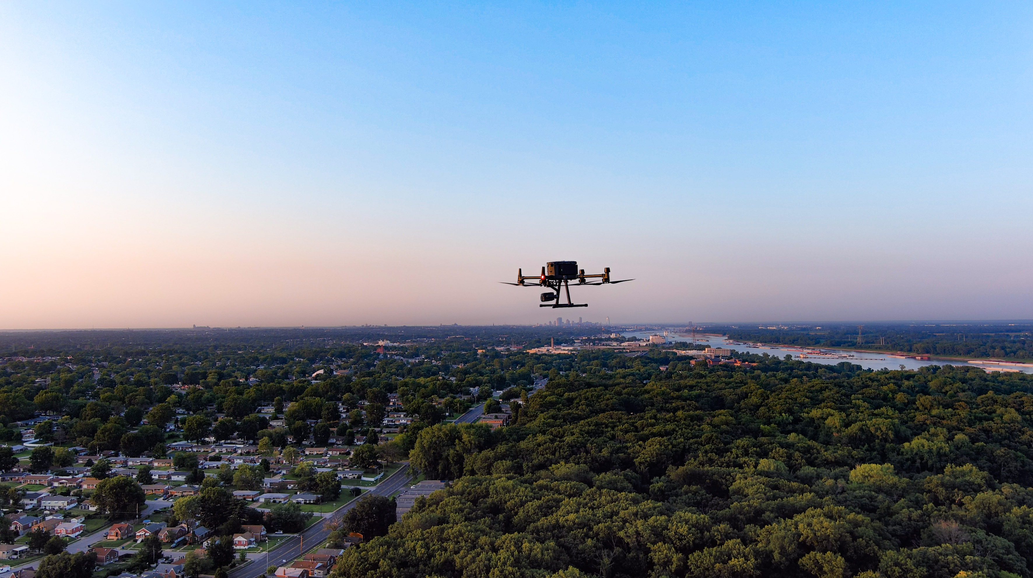
We’re an end-to-end provider of Geospatial Mapping, 3D Modeling, Remote Sensing, and Professional Drone Services. We blend cutting-edge data collection with state-of-the-art 3D, CAD, BIM, and analytical software.
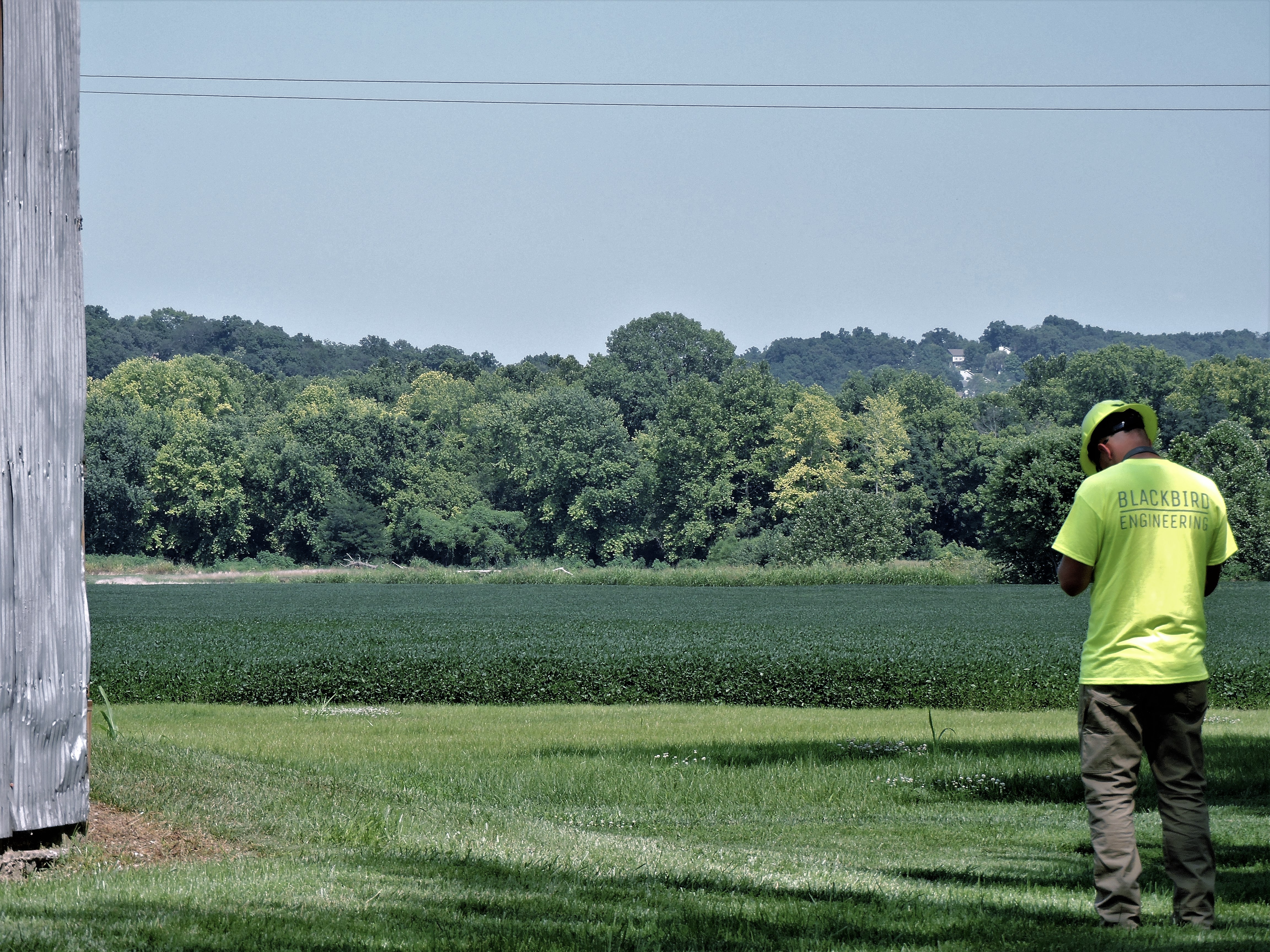
All of our team members are FAA licensed and insured drone pilots with individual backgrounds in Utility Engineering, Public Safety, Construction Engineering, Risk Assessment and Infrastructure Inspection. We’re an experienced provider of LiDAR scanning, data acquisition, and reality capture services.
At Blackbird Engineering all of our skills, training, and equipment are geared towards delivering high quality geospatial data and digital twins (3D models of the real world) regardless of terrain, accessibility, or how complex the data collection and processing will be.
Services
What We Do
We’re committed to excellence in our level of customer service, proven experience, and use of advanced technology to deliver exceptional results. We employ state-of-the-art hardware and software applications in all that we do.
By integrating the latest in aerial, terrestrial, and subsurface data collection technology with state-of-the-art GIS, 3D, AutoCAD, and LiDAR software, we deliver intuitive information to assist your business decisions in a cost-effective manner.
Data collection, processing, accuracy, and visualization are the foundations of an effective 3D GIS model. At Blackbird, we have end-to-end GIS services and solutions available. We can accommodate simple point collection missions and complex city-wide system developments alike. We collect, process, and manage all of our data in-house, providing a streamlined approach to data distribution and delivery to our clients.
-
Aerial
Mapping
-
Geospatial
Services
-
Project
Management
- 3D Modeling
- Utility Locating
-
Inspection
Services
-
Unmanned
Services
- Consulting
- Remote Sensing
Trusted Solutions
More Than Data Collection!
We begin our project preparation by gathering a comprehensive understanding of the final product. What problem are we solving? What situation are we analyzing? What reporting methods are required? We then determine the correct data collection equipment that best supports the project objectives. Finally, we integrate a software package that effectively turns data into answers for our customers and their stakeholders.
What sets us apart is our ability to adapt to the specific needs of your individual project and confront the unique challenges of each one. So we listen and seek to understand your goals – working in collaboration to ensure our solution is the right fit.


Diverse Drone Solutions For Every Situation
We’re experts at adapting our remote sensing approach to meet the complexities of any project, but the foundations of our drone solutions include:
- High Resolution Imagery
- LiDAR (Traditional, SLAM, Bathymetric)
- Thermal and Infrared Sensors
- Confined Space Inspections
- Leak and Chemical Detection
- Multispectral Sensors
Contact us today for a free consultation and quote on your next project!
Featured Case Studies


