
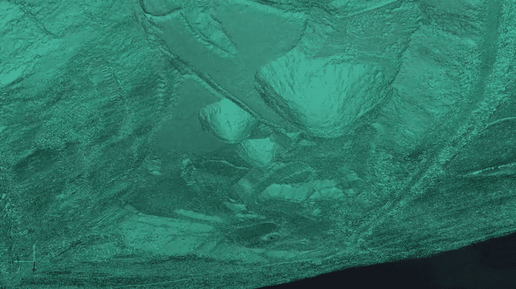
Quarry administrators in northeast Pennsylvania were faced with growing concerns over sinkholes on the property, and their potential affect on operations and personnel safety. Several sinkhole locations were known, however the majority of the untouched landscape was covered in dense vegetation, meaning there was no data or knowledge about the sinkholes in those areas. Sending a team into the uncharted areas using traditional survey methods would be dangerous.
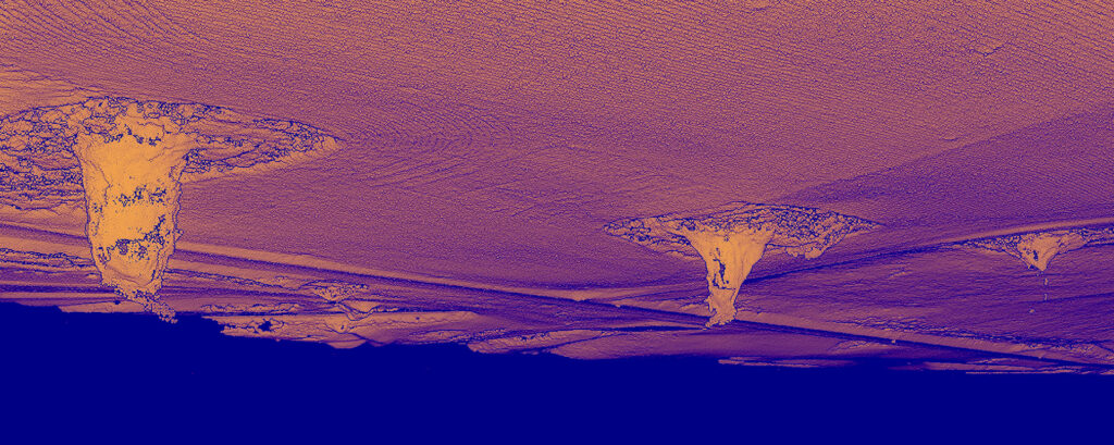
Haul roads and access points were in jeopardy of being negatively impacted as the sinkholes become progressively larger. The owner needed accurate topography information in the risky aeras to consider options for remediation efforts. Furthermore, he faced a decision on the haul road that was in close proximity to the sinkholes. Fund the expensive repair cost or abandon the road completely?
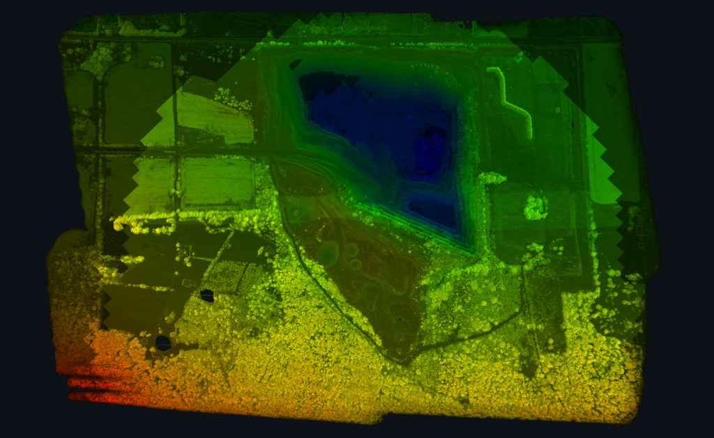
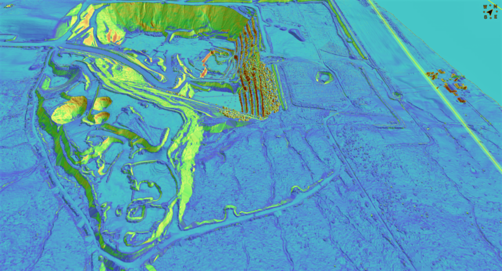
Using drone based LiDAR, we were able to scan the quarry and penetrate the heavy vegetation and tree canopy, capturing accurate data regarding the quarry site condition. The entire data collection process took less than 2 days with final reports being delivered in less than a week!
Using the LiDAR data, we generated a slope analysis report along with CAD ready contour files. The quarry owner was able to confirm that the sinkholes had progressed beyond the safety threshold determined prior to our data collection - meaning the haul road was no longer safe. Additionally, this initial scan will lay the foundation for all future scans and datasets to be compared to. This will ensure uniform reporting and monitoring of the sinkholes' progression.
Blackbird Engineering © 2023. All rights reserved.