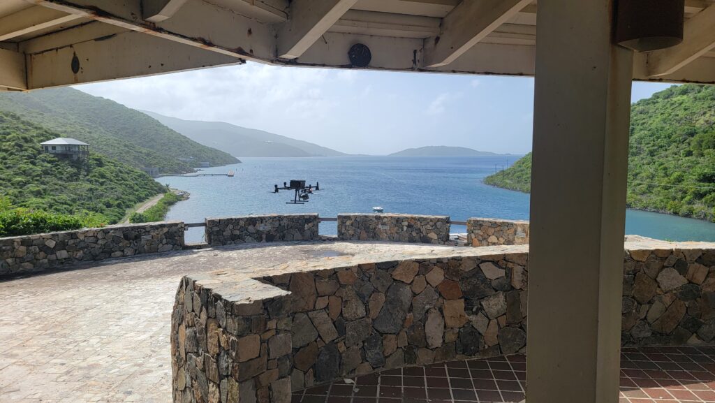
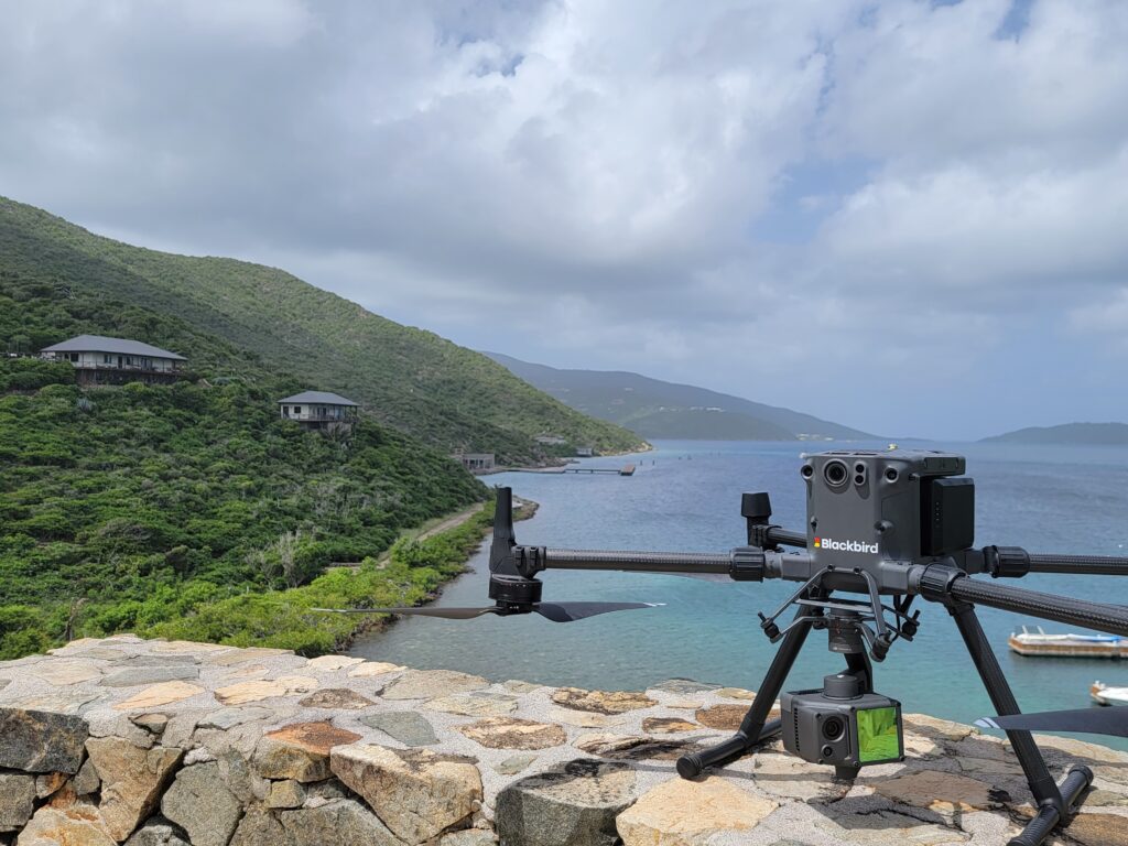
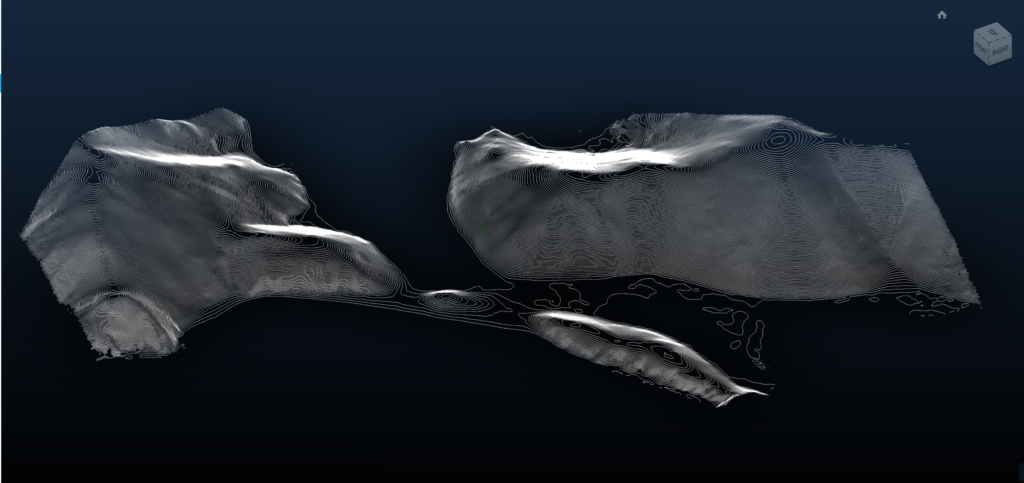
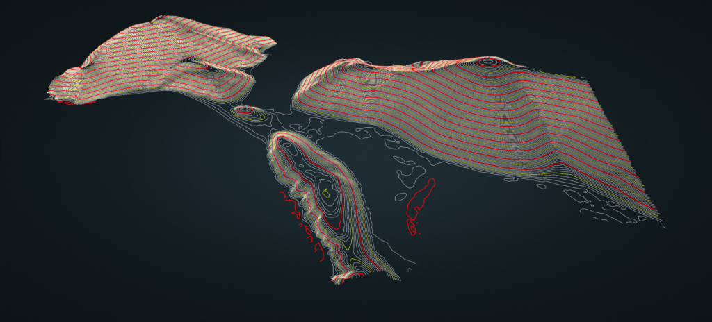
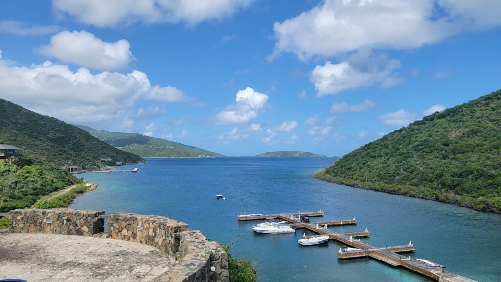
Case Study

Caribbean Island | Post-Hurricane Topography

Caribbean Island |
Post-Hurricane Topography

01.

Overview.

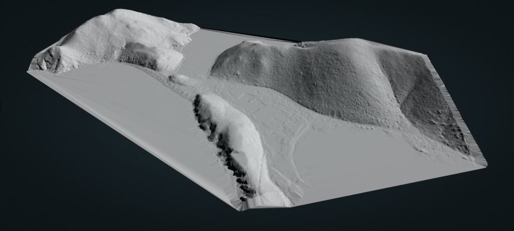
A 140-acre, private island in the Caribbean was hit by intense hurricanes, decimating most of the resort. With rebuilding underway, the architects needed current and accurate depictions of topography and models of the current terrain. Specifically, before starting construction, they wanted to know what areas presented difficult digging because of rock and areas with soil that presented easier excavation.

02.

Challenges and Solutions.

Due to the massive elevation change within the 140 acres, special care had to be taken during the mission planning and data collecting phase to ensure uniformity across all of the LiDAR data. Additionally, an onsite control network needed to be established prior to taking flight as a way to accurately tie the collected data into existing software and site-plans. The advantage of drone mounted lidar is its ability to penetrate tiny openings in dense vegetation and return both an accurate intensity measurement and digital surface model. Based off LiDAR derived intensity readings, site developers can tell if the surface underneath the foliage is hard rock or soft dirt

03.

The Result

Using Lidar, intensity measurements the ground surface was distinguished by displaying hard, rocky areas as one shade and softer dirt areas as another. Combining the intensity data with accurate 3D topography data provided a clear picture for the architects and site managers to evaluate the ground to determine which areas provided the best locations for construction. This informed them on what to build where and the tools they would need.